Over 10 years we helping companies reach their financial and branding goals. Onum is a values-driven SEO agency dedicated.

LATEST NEWS
CONTACTS

Unlock the Deep. Discover with Precision.

Advanced Subsurface Exploration with GRS by Erdrex

Explore oil, gas, and water with unmatched accuracy, speed, and efficiency—on land or at sea.

Unlock the Deep. Discover with Precision.

Advanced Subsurface Exploration with GRS by Erdrex

Explore oil, gas, and water with unmatched accuracy, speed, and efficiency—on land or at sea.

01
Survey & Detection

We begin by scanning the area—either by vehicle or vessel—using advanced sensors that detect electrostatic, thermal, and gravitational signals from beneath the surface.

02
Data Analysis

The collected signals are processed and interpreted to identify fluid types, map structures, and determine depth, boundaries, and hydrocarbon column characteristics.

03
Reporting & Mapping

Within days, we deliver comprehensive maps and detailed reports including depth charts, productivity maps, and resource abundance visuals.

Revolution in the Field

The search for underground resources has long been costly, time-consuming, and uncertain. Erdrex introduces GRS Technology, a revolutionary exploration device that redefines how we detect oil, natural gas, and groundwater. Leveraging the latest scientific advancements, GRS is the first of its kind in the world—offering faster, deeper, and more accurate results than ever before.

video showcase

What is The GRS Device?

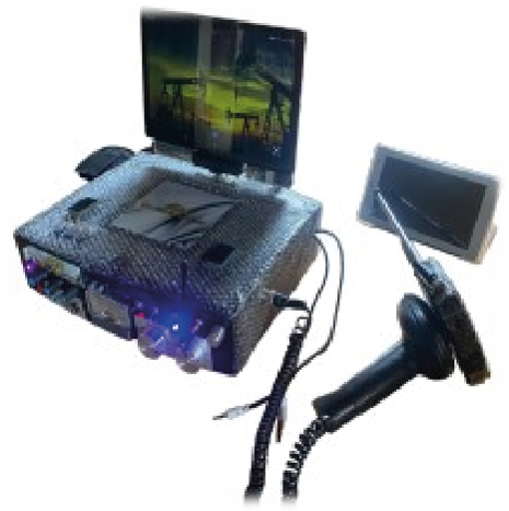
The GRS Device is a medium-sized, multi-sensor system built for deep subsurface exploration. Equipped with laser radar, GPS, and multiple electronic systems, it identifies resource-rich zones with high precision. Operating both onshore and offshore, it can scan up to 6000 meters underground, unaffected by surface materials like cement or metal.

about Device

Core Technologies Behind GRS

+
Meters of exploration depth reached
%
Detection accuracy across various terrains
Days to complete full exploration and reporting
Electrostatic System

Detects the boundaries between hydrocarbons and water by analyzing electrical properties of reservoir fluids.

Gravity Anomaly Detection

Analyzes variations in gravitational fields to locate hydrocarbon-bearing formations and estimate their depth and structure.

Geothermal System

Uses thermal radiation differences to distinguish oil from gas and map reservoir heat flow.

90%

Accuracy

85%

Time Saved

95%

Field Coverage

100%

Client Satisfaction

professional people

Our Leadership Team

We have experience working with large and small businesses and are ready to
develop a targeted strategy and plan that’s just right for you.

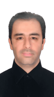
Aly choukour

Aly choukour

Research & Development Manager
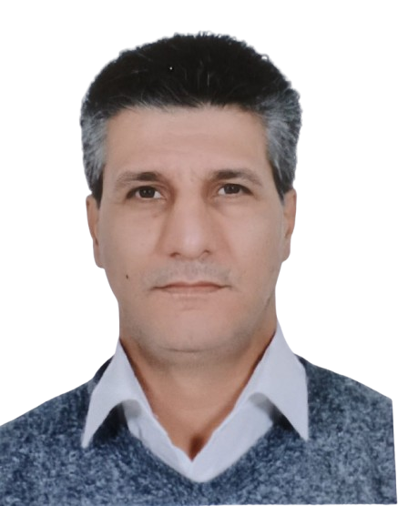
Jihad Abdulmalek

Jihad Abdulmalek

Technical Coordinator
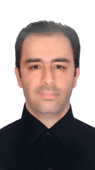
Zeidan Alhojeiri

Zeidan Alhojeiri

Financial Manager
Aly choukour

Aly choukour

Research & Development Manager
Jihad Abdulmalek

Jihad Abdulmalek

Technical Coordinator
Zeidan Alhojeiri

Zeidan Alhojeiri

Financial Manager
01
Time Saving

Exploration in under a week with full reporting

02
Identification

Distinguishes between oil and gas at each point

03
Depth

Measures water-oil contact (WOC) depth

04
Mapping

Maps geological boundaries and formation depth

05
Thickness

Calculates hydrocarbon column thickness

06
Abundance

Generates productivity and abundance maps

Data Interpretation

After analyzing the data and taking the exact coordinates of the points via GPS, we draw the dimensions of the field.

A depth map of the explored field accurately is exported. This map indicates the distribution of the depth of the hydrocarbon-bearing structure.

Finally, an abundance and productivity maps related to the explored field itself will be exported.

Example of a column chart of hydrocarbon-bearing stratigraphy in an explored field

Get in Touch